Share
UNRA has acquired Roadroid, a digital program, in an effort to unify data collecting across the network and enhance the caliber of data gathered.
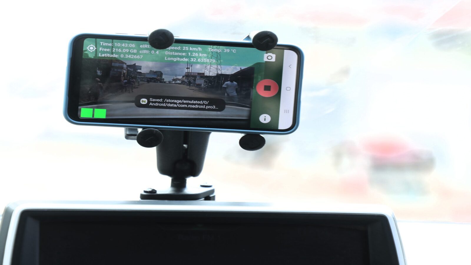
With the help of the smartphone app Roadroid, you can conduct road surveys while driving and collect information about how rough the road is. The software uses the internal accelerometer of a phone to record road vibrations and converts them into an International Roughness Index (IRI).

During surveys, the program records images or videos with GPS locations. The device makes it possible to collect roughness quickly and precisely by just mounting the phone in a moving car. The system’s cloud storage allows for anytime and everywhere access to the acquired data.
The Directorate of Road Maintenance (DRM) and the Directorate of Network Planning and Engineering (DNPE) of UNRA are training a team to use the program. As a result, UNRA will be fully equipped to monitor the condition of its road network, provide data-based information to aid in the proper distribution of resources across the network, and do it in an efficient manner.
